Owner: AOML
LEVEL 1 data time frame: 10/04/2017 - 11/23/2018
Original # of records: 9900
LEVEL 2 STATS
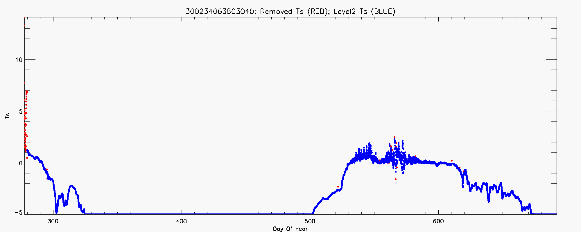
Buoy Contains Variables: BP Ts
Time Frame: 10/06/2017 - 11/23/2018
Total # of records: 9849
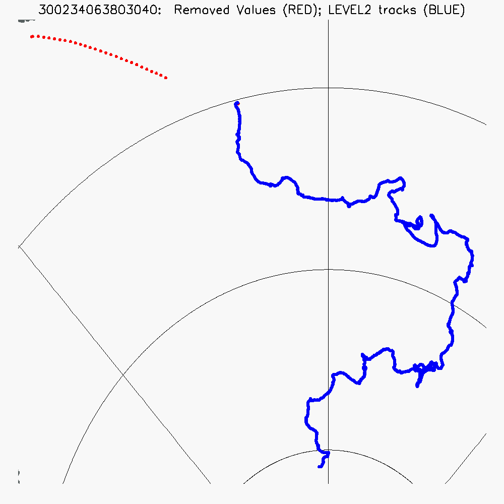
# of bad position records: 0
# of bad BP records: 1
# of bad Ts records: 18
NOTES
1. Ts bottoms out at -5C
2. BP values are suspicious Jan 15 to Feb 26, 2018 (as compared to Satellite BP)
Data Links
LEVEL 1
LEVEL 2